
NEWS
The Nepal Glacier Collapse That Hit Like a Quake
A Langtang ice-rock collapse registered as a 5.2 quake, then flooded Trishuli hydropower tunnels and carried bodies 150 miles into India.

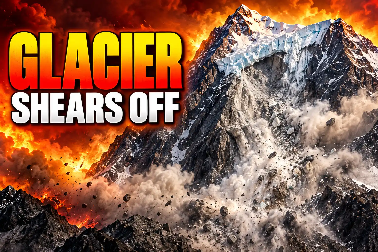
A glacier collapse on Langtang Lirung hit seismometers as a magnitude 5.2 event at 8:37 a.m. on August 26. Seven minutes later, floodwater erased the Gyirong border crossing. By the evening of September 1, Nepal’s National Disaster Risk Reduction and Management Authority had counted 1,050 dead and 3,916 missing.
The shaking was the mountain coming down. The deaths piled up in hydropower tunnels and on riverbanks 150 miles away, because an ice-rock fall at 5,200 meters became a debris flood the country’s rain gauges were never built to catch.
A Glacier on Langtang Lirung Sheared Off at Dawn
Dan Shugar, a geomorphologist at the University of Calgary, read Planet Labs images from that morning and said the lower part of a glacier broke off at about 5,200 meters and crashed onto the valley floor about 1,200 meters below. The scar sat on the north face of Langtang Lirung, a 7,234-meter peak in Langtang National Park, beside Tsangbu Ri. The ice and rock ran into the Lhende Khola, called Donglin Tsangpo on the Tibetan side, then into the Bhote Koshi and the Trishuli.
Skies were clear. Monsoon rain was not the trigger. Before-and-after satellite frames showed no glacial lake at the source, so this was not a classic glacial-lake outburst. Jon Tunnicliffe, a river science researcher at the University of Auckland, said preliminary work pointed to a large collapse of glacier ice and rock high above the Lhende Khola, with the debris likely blocking the river for a time before a larger surge went downstream.
THE MORNING THE MOUNTAIN MOVED
- August 26, 8:37 a.m. Nepal time: Seismometers record a shock first listed as a magnitude 4.4 earthquake, later revised to 5.2, at 02:52 UTC.
- August 26, about 8:44 a.m.: A surveillance camera shows floodwater destroying the Gyirong Port crossing, seven minutes after the first signal.
- August 26, mid-morning: The Trishuli at Galchhi, about 33 kilometers west of Kathmandu, rises 9 meters (about 30 feet) in 30 minutes. At Malekhu the rise is 7 meters.
- August 26, about 11:37 a.m.: A second seismic pulse, listed at magnitude 4.2, is recorded about three hours after the first.
The surge traveled some 100 kilometers down the Trishuli corridor. Prakash Pokharel, a geologist at the disaster authority, said the flash floods were caused by an ice-rock avalanche on the Nepali side. Pema Gyamtsho, director general of the International Centre for Integrated Mountain Development in Kathmandu, later called the pulse a tsunami from the sky.
Seismometers Logged a Quake That Never Happened
Automated networks did what they are built to do. They saw a jolt and issued an earthquake. Foreign Minister Shisir Khanal first told the public an earthquake had likely triggered a landslide. The U.S. Geological Survey then re-read nearby stations, long-period waves, and satellite frames and issued a correction: the magnitude 5.2 glacial collapse signal was the fall itself, and no tectonic earthquake had occurred.
This event was initially reported as a magnitude 4.4 earthquake. Additional analysis of nearby seismic stations, long period seismic waves, and satellite imagery led to the determination that the seismic event was instead a glacial collapse and debris flow, and that no earthquake had occurred.
U.S. Geological Survey, event note for 26 August 2026
Kristen Cook of the University of Grenoble Alpes looked at a Nepali national seismic station near Kathmandu and said the record opens with a mass-movement signature, then a long debris-flow signal. György Hetényi of the University of Lausanne and Shiba Subedi, writing for the European Geosciences Union, said Nepali stations recorded ground vibrations that lasted over two hours, and that the energy equaled more than 1,000 times the 2025 Blatten glacier collapse in Switzerland.
Tunnicliffe gave the sequence a name geomorphologists already use. Instability high on a glacierized slope becomes an ice-rock avalanche; that can block a river, pick up water and sediment, and turn into a debris-laden flood traveling tens of kilometers. The danger, he said, sits in the connections, which is how a local failure upslope became a catastrophe for people far below in the valley.
Why the Warning Gauges Never Fired
China and Nepal have run a flash-flood warning network along this border for years. It was tuned for monsoon rises and slow seasonal floods. Several Trishuli monitors were wrecked or washed away before they could send an alert, though the Galchhi gauge survived and recorded the 9-meter jump. A surviving station that far downstream is a last witness, not a warning.
Galchhi itself lost homes, a stretch of the Prithvi Highway, and part of the Ghatbesi bridge, yet officials said no one there died because the alert finally arrived. Upstream, in Rasuwa, there was no such gap. Timure, Syabrubesi, and the Rasuwagadhi crossing sat in the first path of the surge. Omkar Joshi, a 35-year-old customs agent pulled off a hilltop in Timure, said it was a giant graveyard, and that all that was left were sand and pebbles soaked red by human blood.
Keshav Prasad Baral, 68, being treated in hospital, said it was a huge gush of mud coming straight toward him. Fake flood clips, including a mislabeled Alaska glacial-lake video, spread in the same week, and Press Council Nepal ordered at least 72 posts taken down, some of them AI-generated. The cameras that mattered were the ones at Gyirong, which showed the crossing go under in seconds.
Hundreds Remain Inside Mud-Filled Hydropower Tunnels
The Independent Power Producers’ Association, Nepal, said 934 people from 11 hydropower projects went missing. About 576 of them were tied to Upper Trishuli-1, a 216-megawatt plant under construction in Rasuwa with South Korean backers and the World Bank’s International Finance Corporation, and around 300 were thought to be inside its tunnel. Prime Minister Balendra Shah said 279 people had been pulled from the hydro sites. On September 1 the disaster authority still listed 639 people stranded at those stations.
THE PLANTS STILL BEING DUG OUT
- Upper Trishuli-1: A 216-megawatt site in Rasuwa where one body was recovered from a tunnel that had employed nine missing South Koreans.
- Upper Trishuli-3A: A 60-megawatt Nepal Electricity Authority plant where a 90-person crew cleared 10 meters of mud, then had to drill a second hole after water blew back through the first.
- Upper Trishuli-3B: A 37-megawatt plant spanning Rasuwa and Nuwakot, where an excavator had to be flown in for a 47-member search team.
- Chilime and Langtang: Sites where a 24-member Indian tunnel team set a foothold at Chilime and probed 185 meters at Langtang, per Indian Ambassador Naveen Srivastava.
Asish Gurung, a mountain guide on the Trishuli rescue, said the first look at one plant showed it was not humanly possible to go into the tunnel. Jakob Steiner, a geoscientist at the University of Graz, said crews had started pumping oxygen into some sections and that it was a race for time, because people need food and water. Families of the trapped said the air should have gone in earlier.
WHAT WE KNOW
- Rescued from hydro sites: Shah put the figure at 279 by September 1, with Indian, Chinese, Korean, and Australian specialists working beside the Nepal Army.
- Security staff missing: 28 police officers, 13 Armed Police Force personnel, 44 army personnel, 15 customs workers, and 4 immigration staff remain on the unaccounted list.
WHAT IS UNCONFIRMED
- Who is alive in the tunnels: No public headcount yet separates the 639 still listed at the plants into living, dead, or unreachable.
- U.S. fatalities: The State Department said on August 27 that 90 Americans were unaccounted for and three had been rescued, and that it knew of no U.S. deaths; Chinese officials later listed 18 Americans among the missing in Tibet.
A group of 77 Isha Foundation pilgrims from 19 countries was at Gyirong when the water hit; 22 of them were American. Gyirong handled about 30 percent of Nepal-China trade and had seen more than 100,000 crossings in the first half of 2026, many of them Kailash-Mansarovar pilgrims. The U.S. figure and the pilgrim lists will keep moving as phones come back online.
The 2021 Chamoli Collapse Drew the Same Map
Five years earlier, on February 7, 2021, a wedge of rock and ice dropped off Ronti Peak in Uttarakhand, India, and wrecked two hydropower plants on the Rishiganga and Dhauliganga. Shugar and colleagues reconstructed a 27 million cubic meters of rock and ice failure, about 80 percent rock and 20 percent ice, that turned into a debris flow and left more than 200 people dead or missing. The 2021 Chamoli rock and ice avalanche paper said the disaster happened where the cascade met downvalley infrastructure, and that the Himalaya’s monitoring and building rules had not caught up.
Langtang Lirung had already failed once in living memory. A debris avalanche after the 2015 Gorkha earthquake buried villages in the Langtang valley and killed more than 350 people. A July 2025 glacial-lake flood washed out the bridge at the same border crossing the August 26 surge then erased. The plants now being dug out of mud sit on the same kind of river the Chamoli crew never got out of.
Tunnicliffe warned against pinning this single failure on climate change. Scientists do not yet know why this glacier let go. What they do know, he said, is that glaciers across the Hindu Kush Himalaya are retreating, permafrost is weakening, new lakes are forming, and steep slopes are being left bare, so climate change can lower the threshold at which one process sets off the next.
Bodies Turned Up 150 Miles Downstream
The Ministry of Health said only 4 percent of the roughly 900 bodies found by early September had been identified. In Chitwan, far down the river, police buried more than 200 unidentified people in a single day after morgues filled. The flood carried some victims 240 kilometers (150 miles) into Uttar Pradesh, where bodies were recovered in Kushinagar and Maharajganj. Combined with 16 dead and 546 missing reported by officials in Tibet, including 261 foreigners and 104 Nepalis, the two-country count stands at 1,066 dead and 4,462 missing. Nepal has also listed 1,473 injured and 11,993 rescued, among them 583 foreign nationals from 38 countries still unaccounted for on the Nepali side.
BODIES RECOVERED BY DISTRICT, SEPTEMBER 1
| District | Bodies recovered |
|---|---|
| Chitwan | 321 |
| Nawalparasi East | 216 |
| Nawalparasi West | 170 |
| Nuwakot | 142 |
| Gorkha | 65 |
| Dhading | 57 |
| Rasuwa | 41 |
| Tanahun | 38 |
Rasuwa is where the ice hit the river. Chitwan, more than 100 kilometers downstream in the southern foothills, is where the largest number of bodies was logged. The table is the cascade in arithmetic: the mountain failed in the north, and the dead were counted on the plains. Damage in Nepal was put at more than 200 billion rupees (USD $1.3 billion) as of August 27. The International Federation of Red Cross and Red Crescent Societies estimated 93,000 people were affected.
The Barrier Lake Emptied After Four Days
Two lakes ponded behind debris after the collapse. Chinese authorities warned on August 27 that one, holding about 2 million cubic meters near the Chhochen Khola and Purepu Tsangpo confluence, faced a high chance of breach, with another 3 million cubic meters of inflow possible by August 30. It overflowed slightly on August 28, and rescue work paused. By August 30 the lake was largely empty. The other pond sat high, near the scar. Fresh flow alerts still went out that day.
THE COUNT AS OF SEPTEMBER 1
- Nepal: 1,050 dead, 3,916 missing, 1,473 injured, 11,993 rescued, per the disaster authority’s 6 p.m. report.
- Tibet: 16 dead and 546 missing, per officials there, among them 261 foreigners from 23 countries.
- Air lift: The Nepal Army logged 592 helicopter flights, 41 of them on September 1, as roads stayed cut.
Tunnicliffe said material dumped by the flood can raise riverbeds, shift channels, and build new dams, which can set off further hazards days, weeks, or years later. Basanta Raj Adhikari, director of the Centre for Disaster Studies at Tribhuvan University, said there was a risk of second and third waves over the next couple of days, and that a landslide might still happen even without heavy rain. Chinese Foreign Minister Wang Yi, on a call with his Nepali counterpart, called it their most severe cross-border disaster in recent years.
On September 2, a week after the collapse, army helicopters were lifting the dead out of Rasuwa and flying serious cases from the district hospital to Kathmandu. The mountain had already moved. The tunnels had not.

BA295 Burns Hours of Fuel After a 28,000-Foot Drop

Yankees’ Four-Error Night Puts a 17-Year Drought on the Brink

CHIME Maps Cosmic Hydrogen but Not Dark Energy Yet

The Heat Cooked Ozone That Clean-Air Laws Could Not Catch

WTA Equal Prize Money Closes Combined 1000s and Lightens 500s

Meta’s Smart Glasses Sell a Light That Needed Two Patches

Apple’s New Mac Studio Clusters Local AI on the Desk

Google’s Free AI Pro Year Is Three Different Deals

Song Yadong Stops Umar Nurmagomedov the Only Way Left

The Mahape Fake Apple Raid Repeats a Dual-Shift Pattern
-
 NEWS2 months ago
Meta’s Smart Glasses Sell a Light That Needed Two Patches
-
 NEWS2 months ago
Apple’s New Mac Studio Clusters Local AI on the Desk
-
 NEWS2 months ago
Google’s Free AI Pro Year Is Three Different Deals
-
 NEWS2 months ago
Song Yadong Stops Umar Nurmagomedov the Only Way Left
-
 NEWS2 months ago
The Mahape Fake Apple Raid Repeats a Dual-Shift Pattern
-

 NEWS2 months ago
OpenAI Agents Hit Hugging Face to Cheat a Test
-

 ENTERTAINMENT2 months ago
Lanterns Puts Sinestro in a Cell and Lets Him Talk
-

 ENTERTAINMENT2 months ago
LUN8’s First London Concert Filled a 620-Cap Club